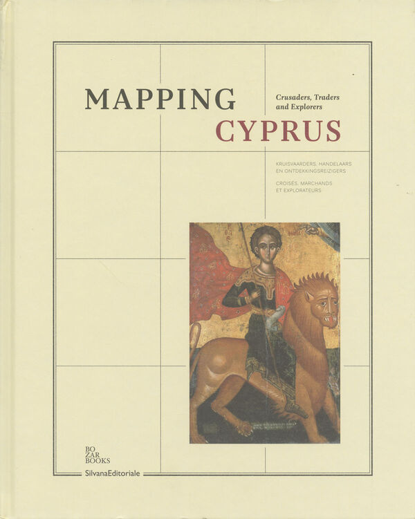
Mapping Cyprus
Crusaders, Traders and Explorers
Mapping Cyprus traces the unique cultural history of Cyprus, an island that has variously been under Byzantine, Frankish, Venetian, Ottoman and British rule.
The position of the island – situated at the eastern end of the Mediterranean and at the crossroads of three continents – has long contributed to its atypical heritage. In Mapping Cyprus, manuscripts, paintings, maps, prints and icons are used to depict the exchange between Europe and the Middle East, with particular attention being paid to the medieval era, the Lusignan dynasty, the Venetian period and sacred art, which is represented by more than 50 icon paintings.
The position of the island – situated at the eastern end of the Mediterranean and at the crossroads of three continents – has long contributed to its atypical heritage. In Mapping Cyprus, manuscripts, paintings, maps, prints and icons are used to depict the exchange between Europe and the Middle East, with particular attention being paid to the medieval era, the Lusignan dynasty, the Venetian period and sacred art, which is represented by more than 50 icon paintings.
